Text size
Line height
Text spacing
However, implementing a GeoTool requires specific skills and competences both in the design and development of the tool, as well as in the reading and analysing the data to take more informed decisions.
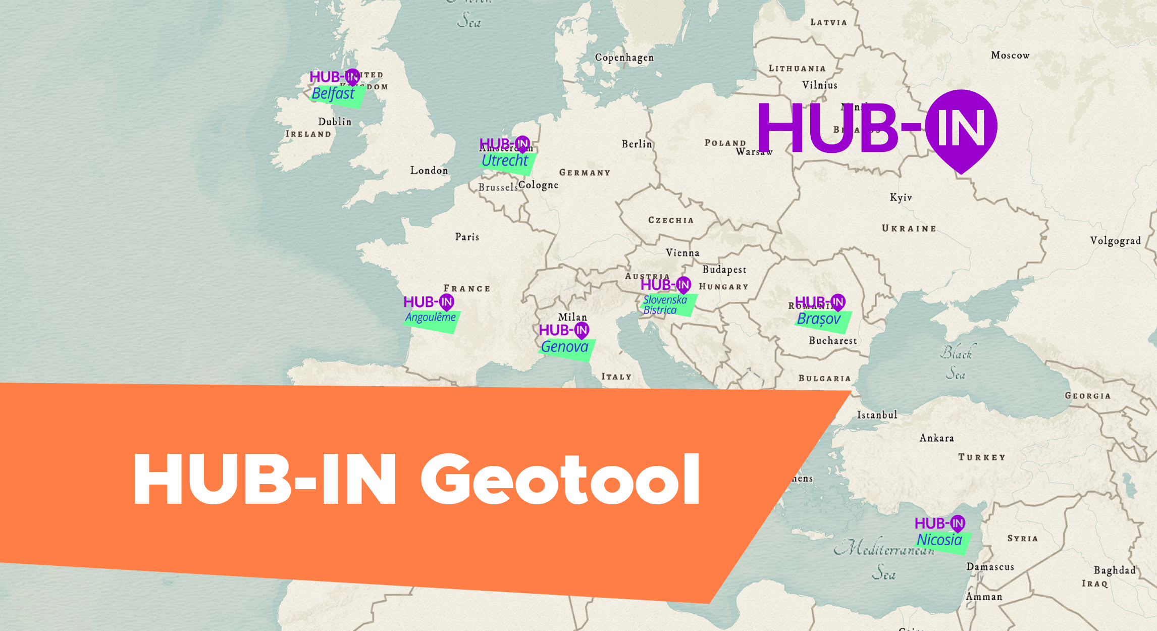
In the course on “Adopting the HUB-IN GeoTool to design urban regeneration strategies” we will approach the geographic visualisation tool developed by Lisboa E-Nova in the framework of HUB-IN project both from the side of the experts and technician that will adapt the tools on their territory, as well as the policy makers that will use it to draw a more comprehensive analysis and, ultimately, taking more informed decision while designing urban regeneration strategies and plans.
Experts from Lisboa e-Nova will guide the learners via this learning journey, and policy makers
Technicians
> urban planning department
> city agencies managing strategic assets
Learning objectives
1/ being aware of the policy maker and decision makers expectations about the Geotool
2/ getting a clear glimpse of the rational behind the tool
Policy makers and cities managers (mainly first part)
> local authorities
> city agencies managing strategic assets
Learning objectives
1/ to discover how the HUB-IN Geotool can help them take more informed decisions, based on a more detailed and easy-to-read geographic visualisation of the complex situation and the potential hidden in their territories.
2/ assessing what they would need to put in place (in terms of human and financial resources) to implement the HUB-IN Geotool in their territories.
However, implementing a GeoTool requires specific skills and competences both in the design and development of the tool, as well as in the reading and analysing the data to take more informed decisions.
In the course on “Adopting the HUB-IN GeoTool to design urban regeneration strategies” we will approach the geographic visualisation tool developed by Lisboa E-Nova in the framework of HUB-IN project both from the side of the experts and technician that will adapt the tools on their territory, as well as the policy makers that will use it to draw a more comprehensive analysis and, ultimately, taking more informed decision while designing urban regeneration strategies and plans.
Experts from Lisboa e-Nova will guide the learners via this learning journey, and policy makers
Technicians
> urban planning department
> city agencies managing strategic assets
Learning objectives
1/ being aware of the policy maker and decision makers expectations about the Geotool
2/ getting a clear glimpse of the rational behind the tool
Policy makers and cities managers (mainly first part)
> local authorities
> city agencies managing strategic assets
Learning objectives
1/ to discover how the HUB-IN Geotool can help them take more informed decisions, based on a more detailed and easy-to-read geographic visualisation of the complex situation and the potential hidden in their territories.
2/ assessing what they would need to put in place (in terms of human and financial resources) to implement the HUB-IN Geotool in their territories.
24/01/2025
___
Beginner
Yes